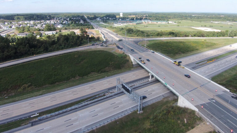
Pennsylvania Department of Transportation – SR 4008 Five Points Intersection – Summit Township, PA
Role: Senior Highway Engineer – Public Engagement & Visualization Modeling Lead
Technology: Bentley Inroads with OpenRoads Technology, LumenRT, Context Capture, Drone Photogrammetry
Delivery Method: PennDOT Safety Improvement Project
Summary
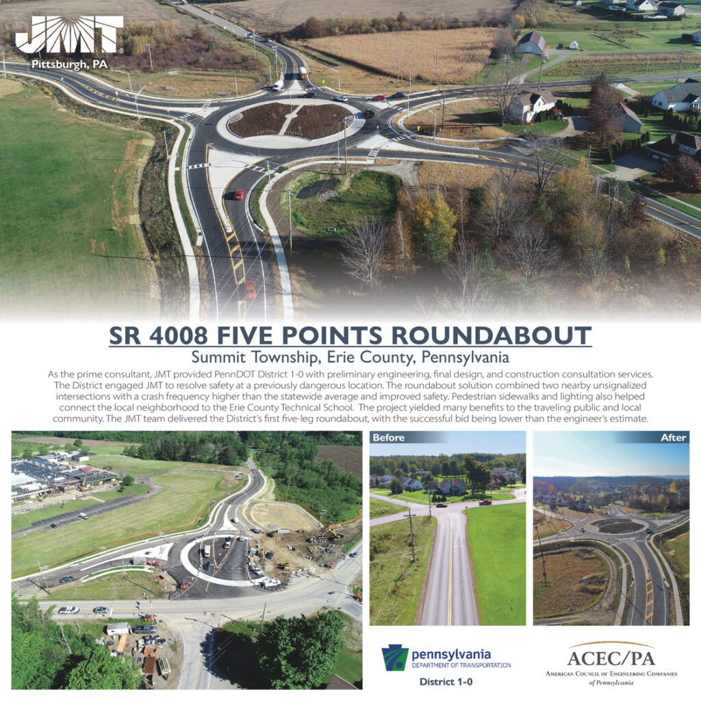
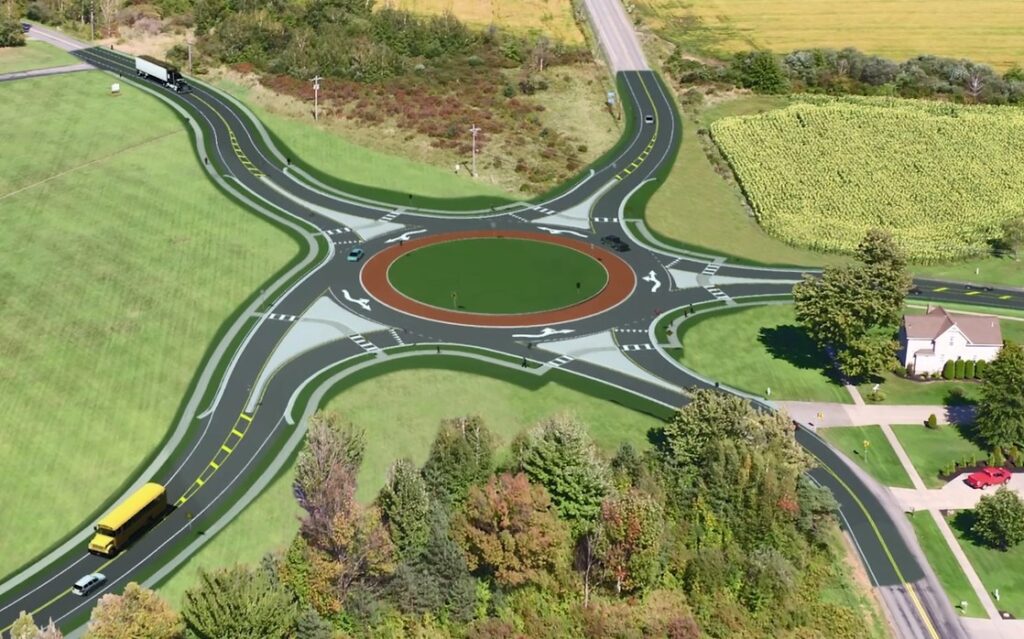
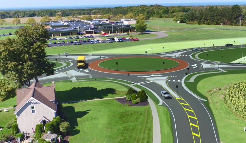
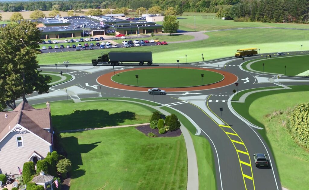
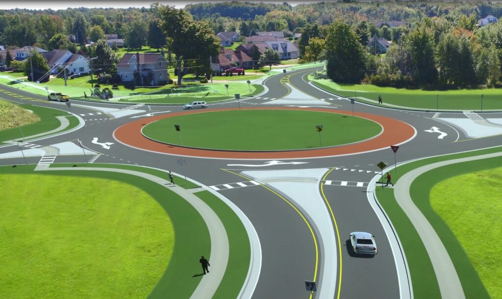
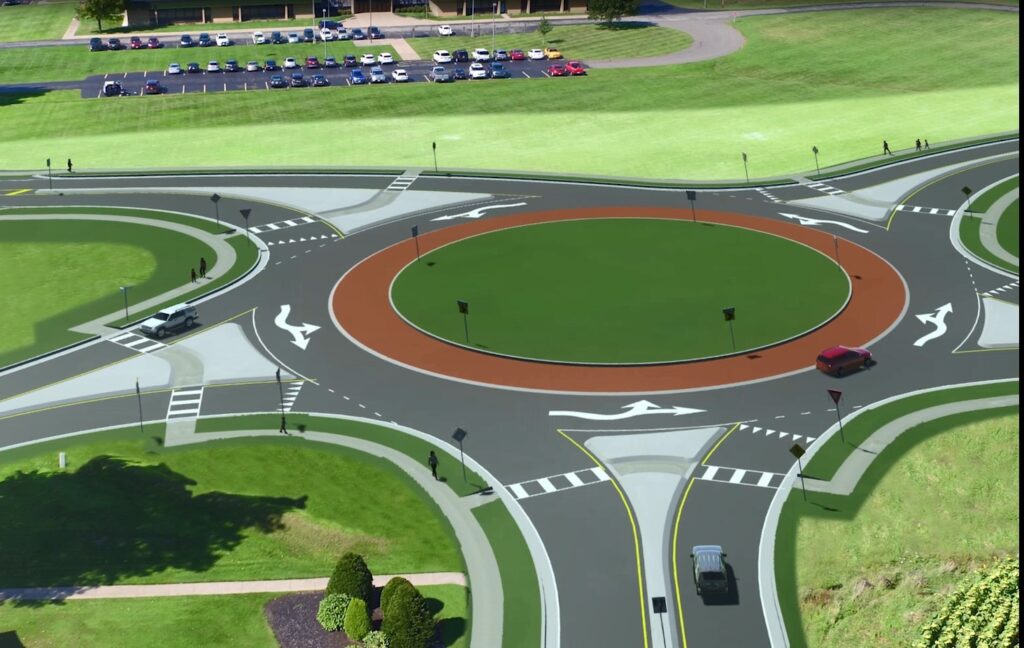
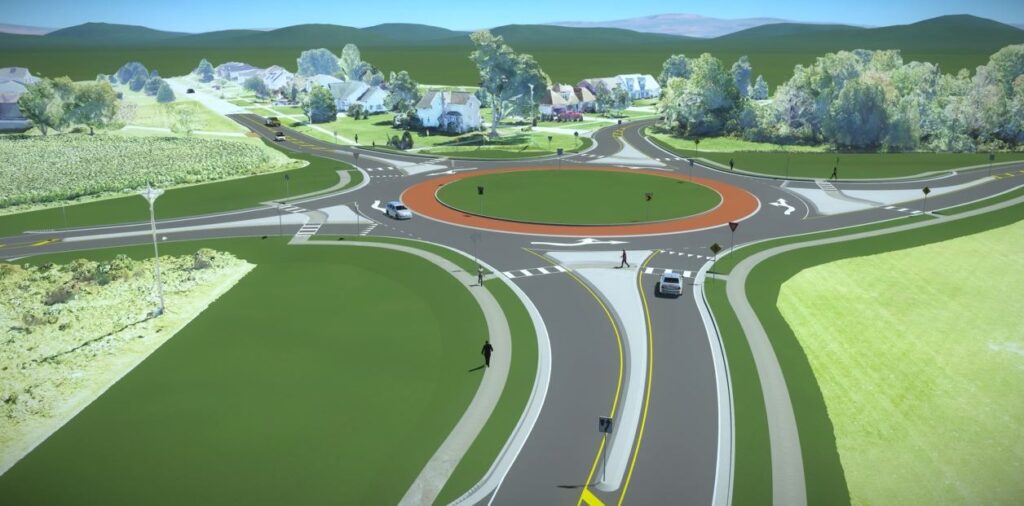
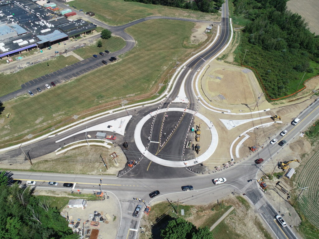
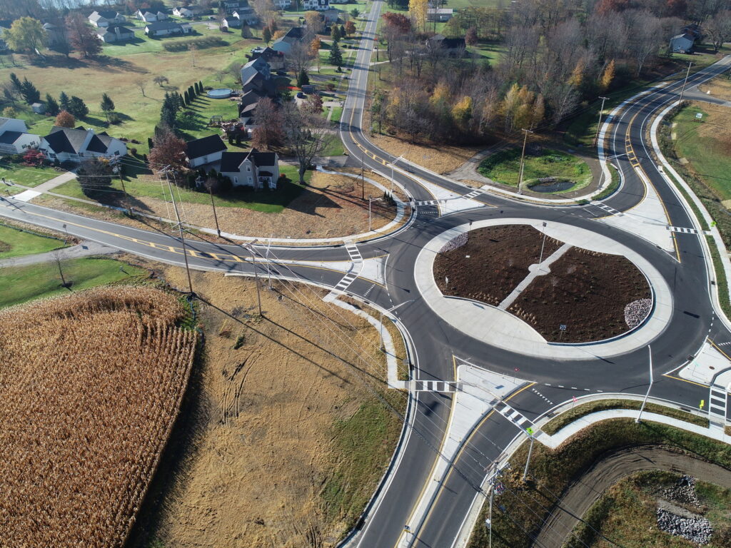
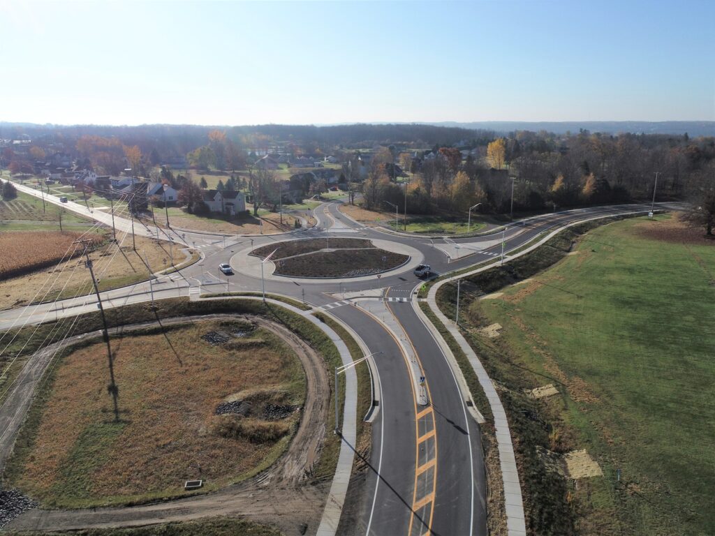
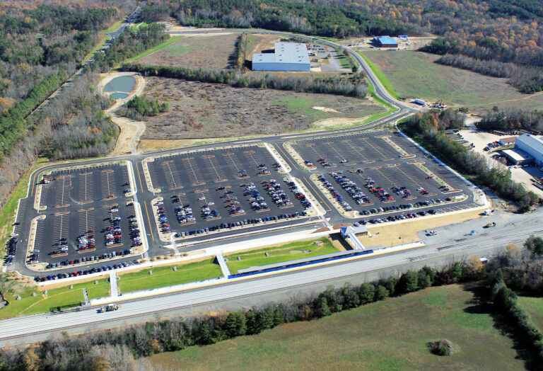
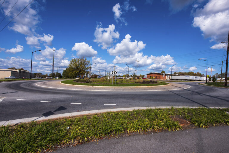
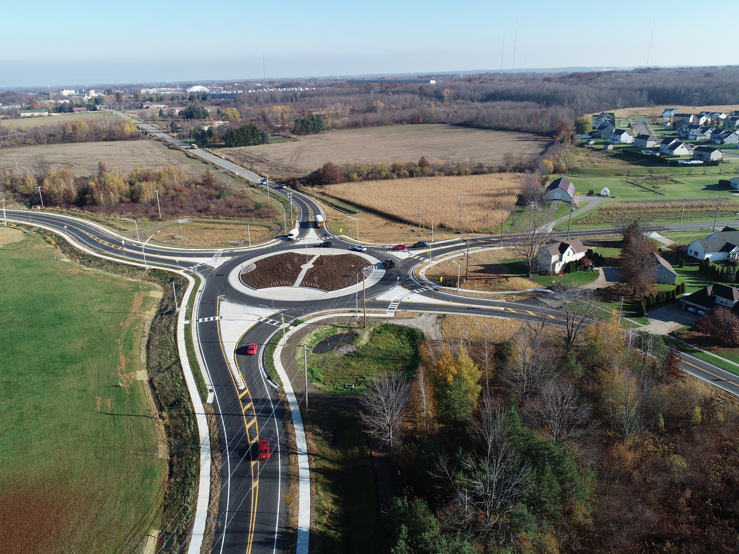
The SR 4008 Five Points Roundabout project aimed to improve safety and connectivity at a high-crash intersection by replacing two unsignalized intersections with a five-leg roundabout. The design included pedestrian enhancements and improved access to the Erie County Technical School. This project was as much about community trust and communication as engineering precision.
I was brought in to lead visualization and public engagement efforts, ensuring stakeholders understood the design intent and benefits through immersive, data-driven visuals.
My Contributions
- 3D Modeling Leadership: Directed creation of a detailed 3D model of the proposed roundabout, ensuring accurate geometry and realistic context for stakeholder review.
- Public Engagement Materials: Developed high-impact visual assets—renderings, interactive displays, and presentation materials—to clearly communicate design benefits.
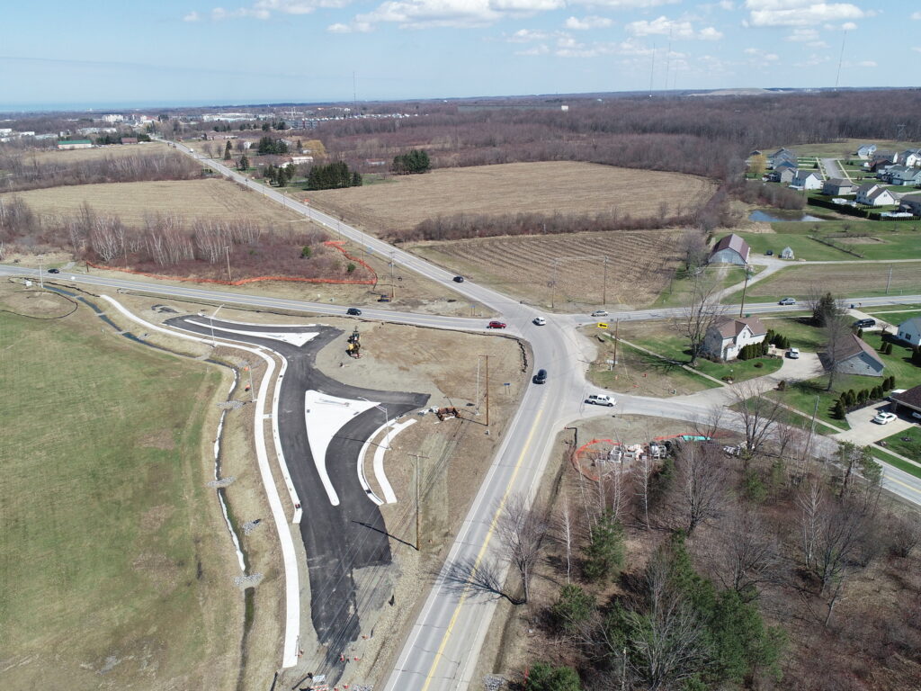
- Reality Capture Innovation: Introduced drone-based photogrammetry workflows to capture existing site conditions and integrate them into the 3D environment for enhanced accuracy and realism.
- Training & Coordination: Worked with design teams to align visualization outputs with engineering data for consistency and credibility.
Impact
- Delivered immersive visuals that improved public understanding and confidence in the project.
- Accelerated design validation through reality capture, reducing field visits and improving stakeholder coordination.
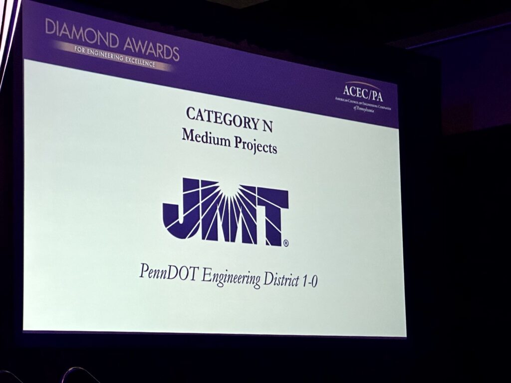
- Supported PennDOT’s endorsement for the ACEC/PA Diamond Awards for Engineering Excellence, showcasing innovation in design communication.
Tools & Technologies
- Collaboration: Integrated visuals with engineering data for accuracy and transparency.
- Reality Capture: Drone photography and photogrammetry for site modeling.
- Visualization: Advanced 3D modeling and rendering tools for public-facing materials.